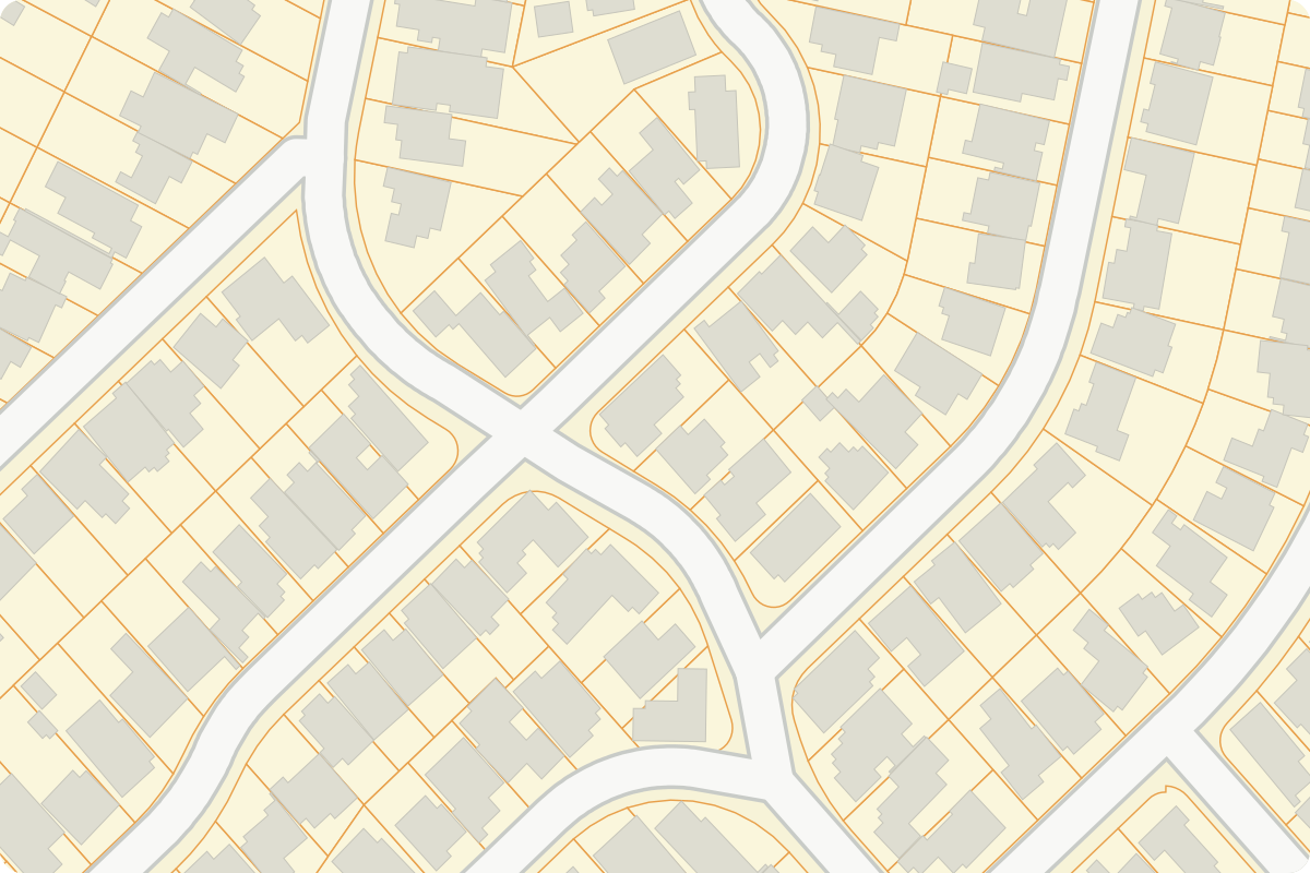
Typical periodic survey
January → MayCapture months: January, May.
-
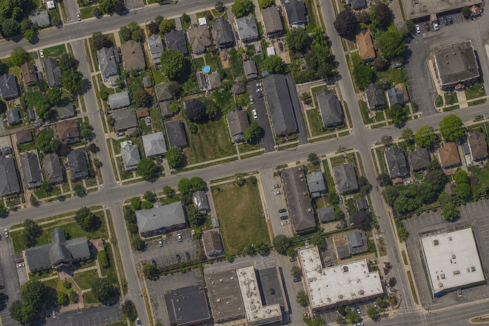
Before work -
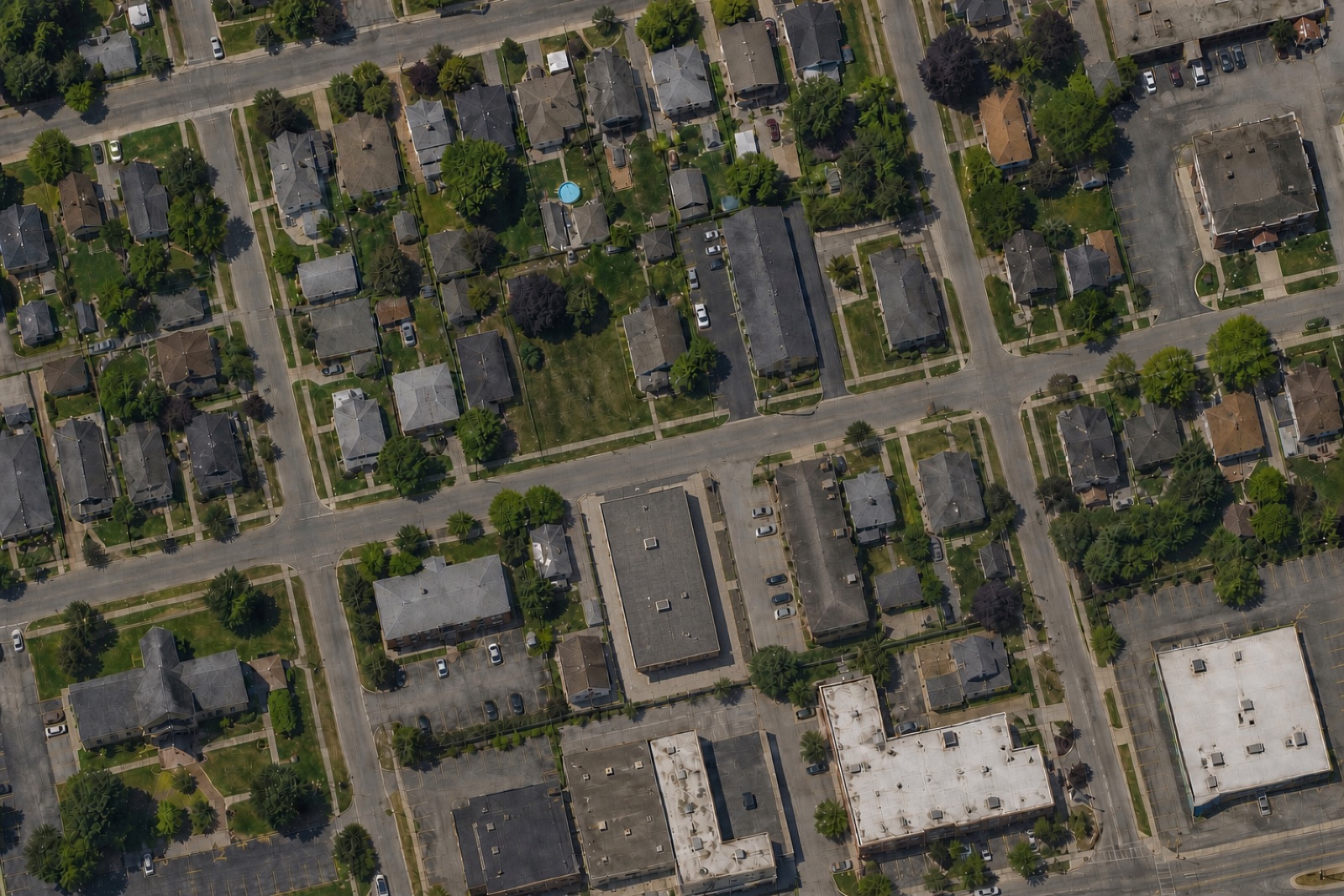
After completion
The entire project occurred between captures.
CityDiff by INYO Spatial
CityDiff helps local governments identify exterior construction and property changes across the city, compare them with permit records, and focus staff attention on the cases that deserve review.
Physical-change intelligence for local government.
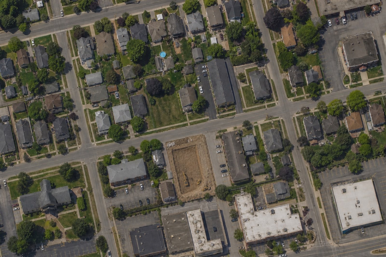
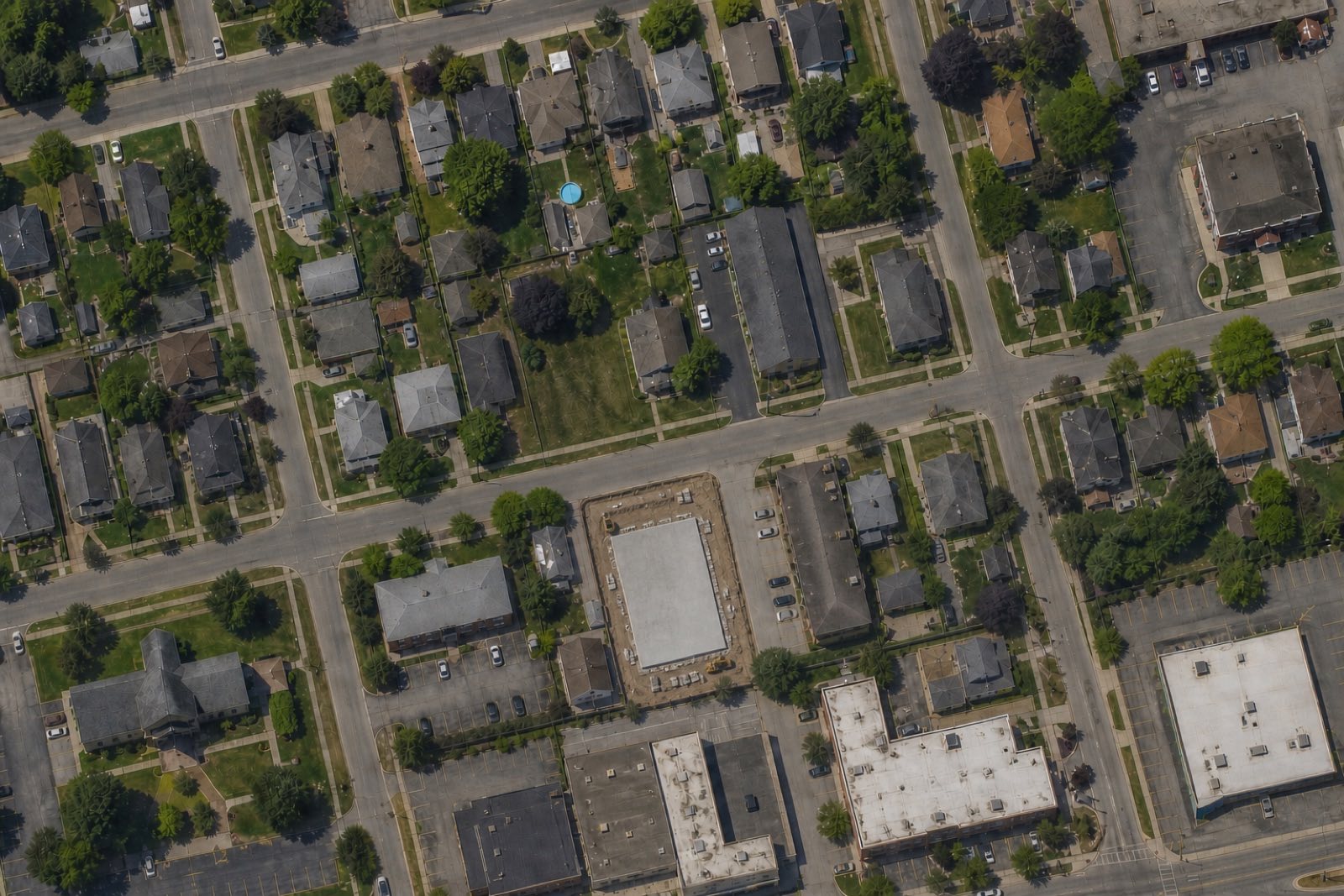
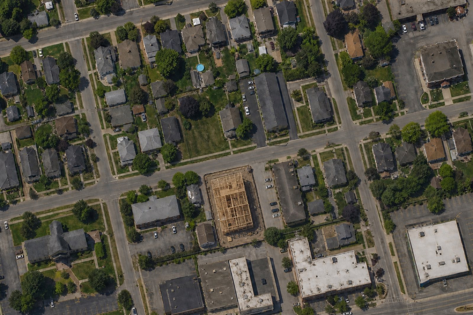
More frequent observations create an earlier signal—so staff can review activity while evidence is current, not months after the fact.
Observation cadence
A project can start and finish between surveys.Capture months: January, May.
The entire project occurred between captures.
Capture months: January, January, February, February, March, March, April, April, May.
Observed while work is underway.
Actual frequency depends on geography, imagery availability, weather, and pilot scope.
Review changes, compare available records, and decide which cases merit staff attention.
Visible change
Common exterior change patterns, seen clearly from above.
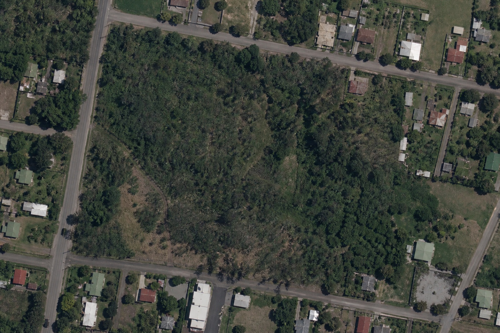
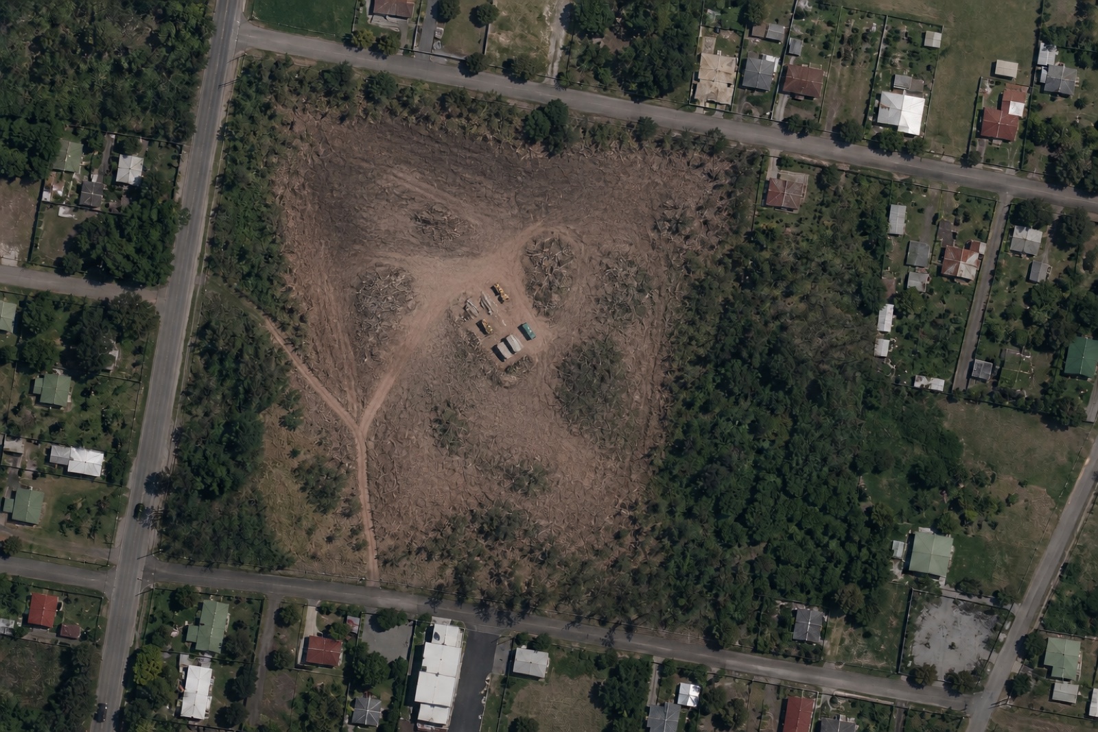
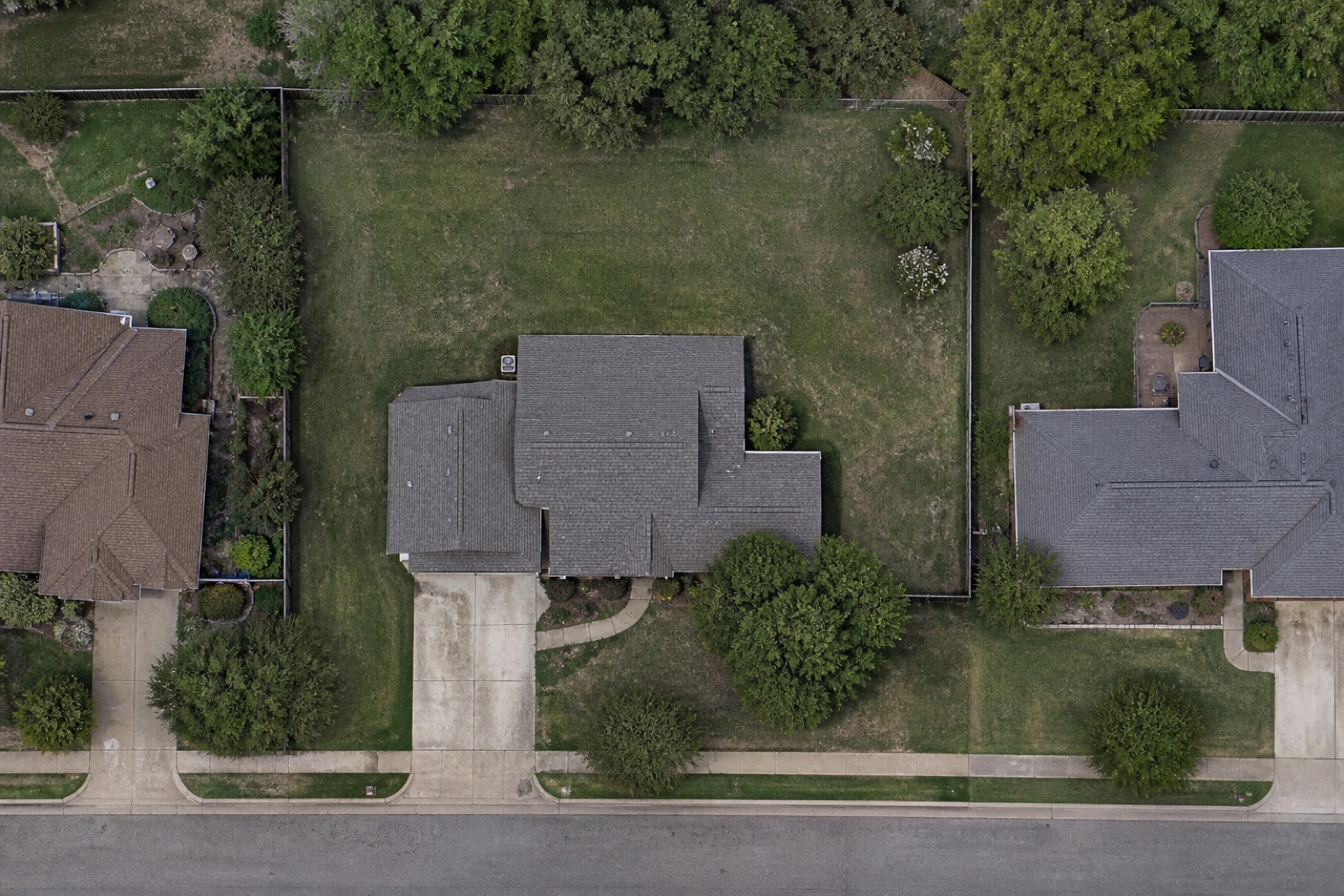
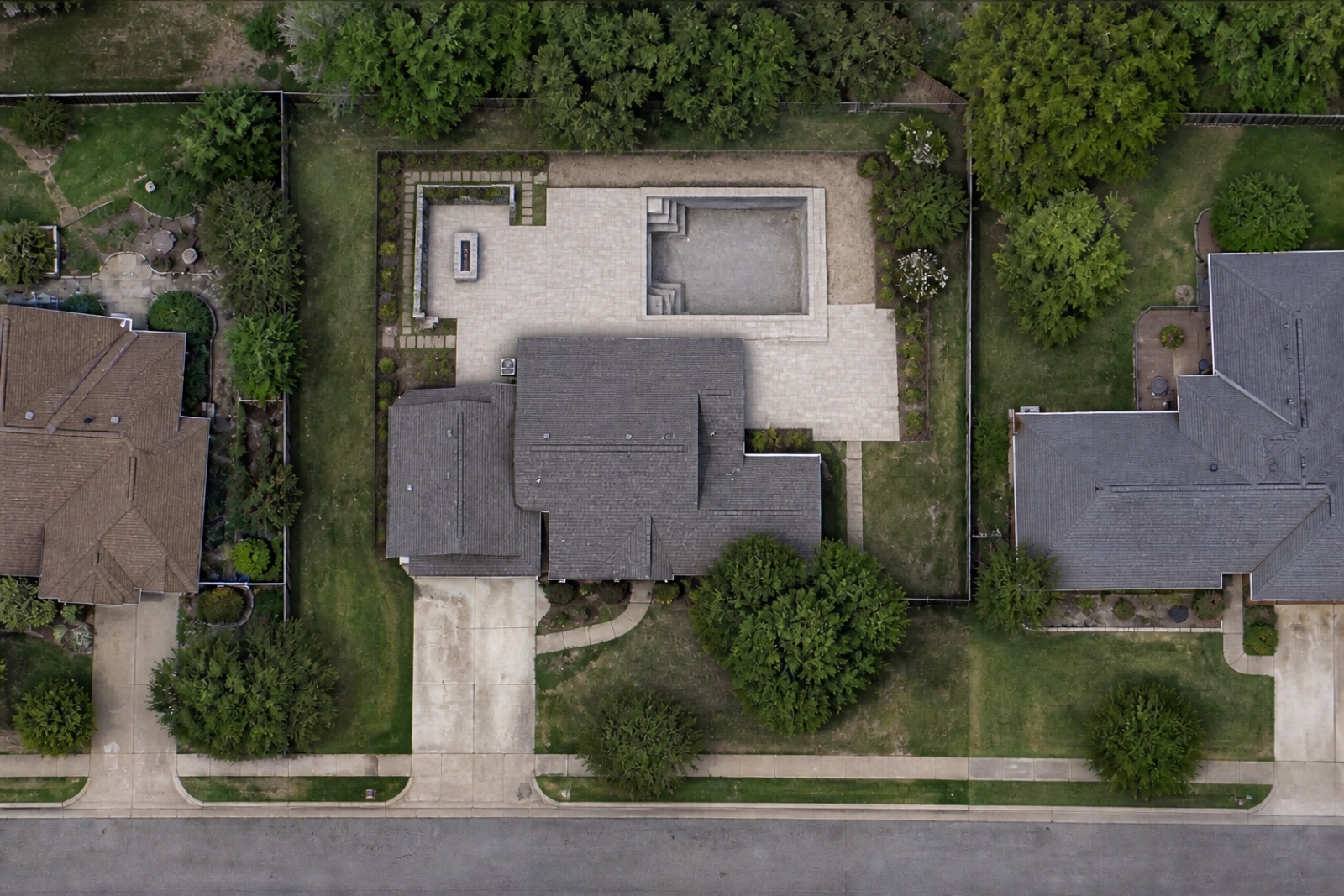
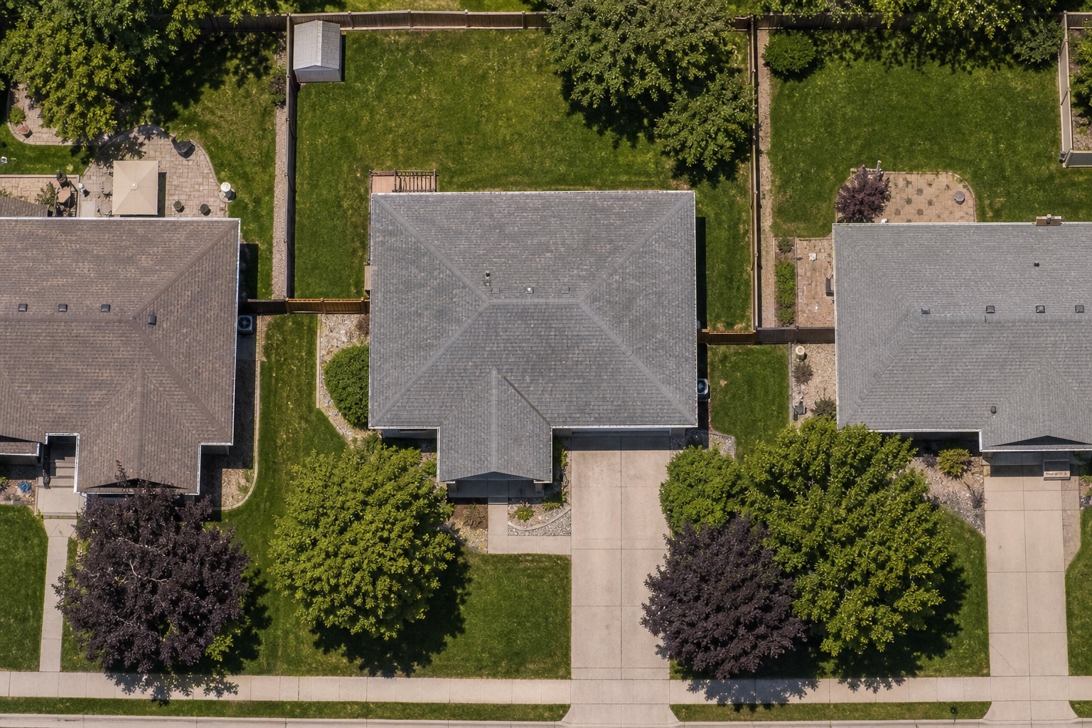
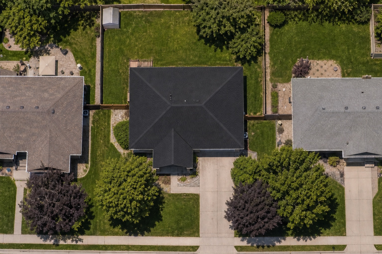
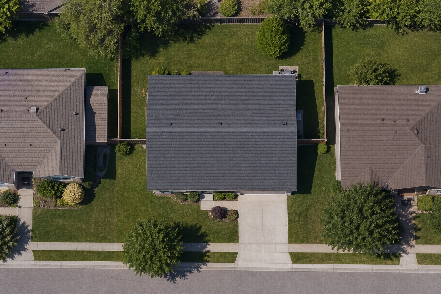
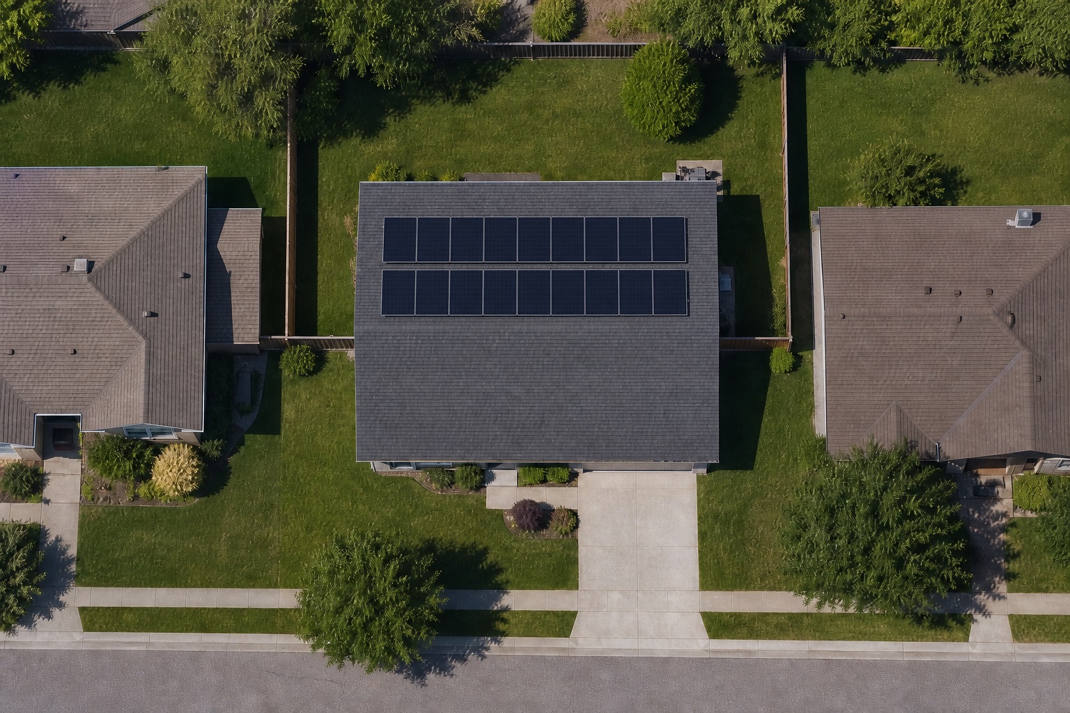
CityDiff focuses on visible exterior physical change. Visibility depends on feature size, tree cover, shadows, weather, viewing conditions, and how long a change remains visible.
Output paths
Use parcel-linked API records or ready-to-share staff reports—without changing how staff work.
Structured parcel records can flow into the tools your teams already use.
{
  "schema_version": "demo-1",
  "parcel_id": "SYN-042-017",
  "observed_from": "2026-05-04",
  "observed_to": "2026-06-15",
  "change_category": "excavation_and_new_structure",
  "affected_area_m2": 186,
  "confidence": "high",
  "permit_match_status": "no_match_in_available_records",
  "visibility_notes": "Clear view; minor tree-edge occlusion",
  "evidence_refs": ["T-1_2026-05-04", "T_2026-06-15"],
  "recommended_disposition": "staff_review"
}A readable summary can arrive by email or be saved as a document.
Parcel SYN-042-017 · May 4–June 15, 2026 · 186 m² · High confidence
Excavation and new structure · Evidence T-1 May 4 and T June 15
Clear view; minor tree-edge occlusion
New exterior activity · No matching permit found in available records · Review recommendedCitywide coverage
Parcel-linked observations make citywide patterns visible at a glance.
31 changes detected · 23 matched · 8 recommended for review
Pilot program
INYO Spatial is selecting pilot cities to help shape CityDiff around real municipal review workflows.
Start a conversation
INYO Spatial will review your municipality's goals and contact qualified pilot applicants to discuss scope, data readiness, and evaluation criteria.
Practical details
Practical answers for city teams.
CityDiff helps local governments detect visible construction and property changes through recurring overhead imagery. It organizes findings by parcel, compares them with available permit records, and delivers review-ready results through visual tools, reports, or structured API data.
CityDiff analyzes high-resolution satellite and aerial imagery captured over time. Computer vision algorithms compare observations to detect physical changes and organize them by parcel for staff review.
A typical CityDiff observation cadence is every two weeks or more often. Actual frequency depends on geography, imagery availability, weather, and pilot scope.
No. CityDiff only recommends review. Authorized city staff retain interpretation, inspection, outreach, and enforcement authority.
No. CityDiff focuses on visible exterior physical change, not people, and does not use face recognition.
CityDiff can surface visible exterior changes such as construction, excavation, clearing, and paving. Observability depends on feature size, tree cover, shadows, weather, viewing conditions, and how long a change remains visible.
Suitable existing city imagery can be evaluated for a pilot. Usefulness depends on resolution, capture dates, coverage, and viewing conditions.
A municipal champion, a defined evaluation area, accessible parcel and permit records, and willingness to provide disposition feedback help establish pilot readiness.